
Hull 🇺🇸
-
Nautical Twilight begins:04:00 amSunrise:05:15 am
-
Sunset:08:23 pmNautical Twilight ends:09:38 pm
-
Moonrise:08:47 pm
-
Moonset:04:31 am
-
Moon over:12:20 am
-
Moon under:12:39 pm
-
Visibility:100%
-
 Full Moon
-
Distance to earth:392,592 kmProximity:30.8 %
Moon Phases for Hull
-
poor Day
-
minor Time:03:31 am - 05:31 am
-
major Time:11:39 am - 01:39 pm
-
minor Time:
 07:47 pm -
09:47 pm
07:47 pm -
09:47 pm
-
major Time:11:20 pm - 01:20 am
Tide Clock
Tide Graph
Times
| Tide | Time | Height |
|---|---|---|
| low | 05:50 am | 0.46 ft |
| high | 12:08 pm | 8.63 ft |
| low | 05:51 pm | 1.48 ft |
| Date | Major Bite Times | Minor Bite Times | Sun | Moon | Moonphase | Tide Times |
|---|---|---|---|---|---|---|
|
Thu, 10 Jul
|
11:39 am -
01:39 pm
11:20 pm -
01:20 am
|
03:31 am -
05:31 am
07:47 pm -
09:47 pm
|
R: 05:15 am S: 08:23 pm |
R: 08:47 pm S: 04:31 am |
Full Moon |
low: 05:50 am
, 0.46 ft
high: 12:08 pm
, 8.63 ft
, Coeff: 85
low: 05:51 pm
, 1.48 ft
|
|
Fri, 11 Jul
|
12:16 am -
02:16 am
12:31 pm -
02:31 pm
|
04:39 am -
06:39 am
08:24 pm -
10:24 pm
|
R: 05:16 am S: 08:22 pm |
R: 09:24 pm S: 05:39 am |
Full Moon |
high: 12:09 am
, 10.24 ft
, Coeff: 116
low: 06:31 am
, 0.2 ft
high: 12:50 pm
, 8.86 ft
, Coeff: 90
low: 06:35 pm
, 1.25 ft
|
|
Sat, 12 Jul
|
01:08 am -
03:08 am
01:21 pm -
03:21 pm
|
05:50 am -
07:50 am
08:53 pm -
10:53 pm
|
R: 05:17 am S: 08:22 pm |
R: 09:53 pm S: 06:50 am |
Full Moon |
high: 12:51 am
, 10.43 ft
, Coeff: 120
low: 07:12 am
, -0.03 ft
high: 01:30 pm
, 9.12 ft
, Coeff: 95
low: 07:18 pm
, 1.02 ft
|
|
Sun, 13 Jul
|
01:59 am -
03:59 am
02:10 pm -
04:10 pm
|
07:03 am -
09:03 am
09:18 pm -
11:18 pm
|
R: 05:18 am S: 08:21 pm |
R: 10:18 pm S: 08:03 am |
Waning Gibbous |
high: 01:33 am
, 10.56 ft
, Coeff: 123
low: 07:53 am
, -0.23 ft
high: 02:11 pm
, 9.38 ft
, Coeff: 100
low: 08:03 pm
, 0.82 ft
|
|
Mon, 14 Jul
|
02:46 am -
04:46 am
02:57 pm -
04:57 pm
|
08:15 am -
10:15 am
09:40 pm -
11:40 pm
|
R: 05:18 am S: 08:21 pm |
R: 10:40 pm S: 09:15 am |
Waning Gibbous |
high: 02:16 am
, 10.6 ft
, Coeff: 123
low: 08:35 am
, -0.33 ft
high: 02:53 pm
, 9.68 ft
, Coeff: 106
low: 08:50 pm
, 0.62 ft
|
|
Tue, 15 Jul
|
03:33 am -
05:33 am
03:44 pm -
05:44 pm
|
09:27 am -
11:27 am
10:01 pm -
12:01 am
|
R: 05:19 am S: 08:20 pm |
R: 11:01 pm S: 10:27 am |
Waning Gibbous |
high: 03:02 am
, 10.5 ft
, Coeff: 121
low: 09:19 am
, -0.33 ft
high: 03:37 pm
, 9.97 ft
, Coeff: 111
low: 09:39 pm
, 0.46 ft
|
|
Wed, 16 Jul
|
04:19 am -
06:19 am
04:31 pm -
06:31 pm
|
10:40 am -
12:40 pm
10:23 pm -
12:23 am
|
R: 05:20 am S: 08:19 pm |
R: 11:23 pm S: 11:40 am |
Third Quarter Moon |
high: 03:51 am
, 10.3 ft
, Coeff: 117
low: 10:05 am
, -0.2 ft
high: 04:24 pm
, 10.24 ft
, Coeff: 116
low: 10:32 pm
, 0.36 ft
|


uploaded by: Rosemelzam

uploaded by: Eric Foster

uploaded by: cspooner

uploaded by: cspooner

uploaded by: redelijkheid

uploaded by: Marc Singer

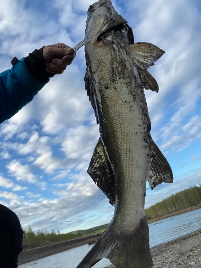
uploaded by: Joey Piercefield

uploaded by: Joey Piercefield

uploaded by: Joey Piercefield

uploaded by: J Hartley
Khall,hal, masachwst,Халл,هال، ماساچوست
Best Fishing Spots in the greater Hull area
Beaches and Bays are ideal places for land-based fishing. If the beach is shallow and the water is clear then twilight times are usually the best times, especially when they coincide with a major or minor fishing time. Often the points on either side of a beach are the best spots. Or if the beach is large then look for irregularities in the breaking waves, indicating sandbanks and holes. We found 8 beaches and bays in this area.
Hull Bay - 1km , Hingham Bay - 2km , Nantasket Beach - 3km , Manet Beach - 5km , Long Beach Rock - 6km , Quincy Bay - 6km , Wessagusset Beach - 7km , Crescent Beach - 7km
Harbours and Marinas can often times be productive fishing spots for land based fishing as their sheltered environment attracts a wide variety of bait fish. Similar to river mouths, harbour entrances are also great places to fish as lots of fish will move in and out with the rising and falling tides. There are 4 main harbours in this area.
Allerton Harbor - 1km, Portuguese Cove - 3km, Hingham Harbor - 6km, Sailors Snug Harbor - 7km
We found a total of 99 potential fishing spots nearby Hull. Below you can find them organized on a map. Points, Headlands, Reefs, Islands, Channels, etc can all be productive fishing spots. As these are user submitted spots, there might be some errors in the exact location. You also need to cross check local fishing regulations. Some of the spots might be in or around marine reserves or other locations that cannot be fished. If you click on a location marker it will bring up some details and a quick link to google search, satellite maps and fishing times. Tip: Click/Tap on a new area to load more fishing spots.
Inner Seal Rock - 0km , Allerton Harbor - 1km , Hunt Ledge - 1km , Windmill Point - 1km , Hull Gut - 1km , Hull Bay - 1km , Outer Seal Rock - 1km , Seal Rock - 1km , Spinnaker Island - 1km , Kelly Rock - 2km , Hingham Bay - 2km , Point Allerton - 2km , Georges Island - 2km , Perry Cove - 2km , Bumkin Island - 2km , Harrys Rock - 3km , Little Brewster Island - 3km , Lovell Island - 3km , Whitings Ledge - 3km , Great Brewster Island - 3km , Nantasket Beach - 3km , Peddocks Island - 3km , Black Rock - 3km , Portuguese Cove - 3km , Sunset Point - 3km , Sheep Island - 3km , Grape Island - 4km , Weymouth Back River - 4km , Weymouth Fore River - 4km , Middle Brewster Island - 4km , West Gut - 4km , Pig Rock - 4km , Black Rock Channel - 4km , The Piglets - 4km , Rainsford Island - 4km , Gallops Island - 4km , Brewster Islands - 4km , Slate Island - 4km , Sarah Island - 5km , Langlee Island - 5km , Little Calf Island - 5km , Flying Place - 5km , Long Island - 5km , Lower Neck - 5km , Lower Neck Cove - 5km , Manet Beach - 5km , Nut Island - 5km , Outer Brewster Island - 5km , Crow Point - 5km , Houghs Neck - 5km , Pope Rock - 5km , Hewitts Cove - 5km , Raccoon Island - 5km , Ragged Island - 5km , Rocky Neck - 5km , Hangman Island - 5km , Calf Island - 5km , Walton Cove - 5km , Wreck Rock - 5km , Spiers Stand - 5km , Upper Neck - 5km , Aldridge Ledge - 5km , Calf Islands - 5km , Bass Point - 5km , Long Beach Rock - 6km , Davids Island - 6km , Upper Neck Cove - 6km , Fort Point - 6km , Commissioners Ledge - 6km , Eastern Neck - 6km , Tewksbury Rock - 6km , Hingham Harbor - 6km , Green Island - 6km , Quincy Bay - 6km , Rock Island Cove - 6km , Rock Island Head - 6km , Stodders Neck - 6km , Bass Rock - 6km , Broad Cove - 6km , Jacknife Ledge - 6km , Martins Well - 6km , Maffitt Ledge - 6km , Button Island - 6km , Sculpin Ledge - 6km , Green Hill Rock - 7km , Wessagusset Beach - 7km , Crescent Beach - 7km , Spectacle Island - 7km , Deer Island - 7km , Germantown Point - 7km , Half Moon Island (historical) - 7km , Sailors Snug Harbor - 7km , Gull Point - 7km , Boston Harbor - 7km , Straits Pond Dam - 7km , Half Moon Island - 7km , Gun Rock - 7km , Moon Island - 7km , Beal Cove - 7km
Comments